Trailspotter
Senior Member.
I've taken the FR2083 flight track from FlightAware (attached) and displayed it in Google Earth. At the closest approach the aircraft was about 10 km away and 11.2 km above, which gives the actual camera tilt being about 42-45°. However, the aircraft was banking to the left at the time, tilting away from you, therefore you could see more of her underside than in a straight flight at the same distance and altitude.What I find most striking is how, from the ground, the aircraft appeared almost directly above me yet is shown to be some 10-15miles to my east. I had maybe a 10/15 degree tilt on the camera from vertical.
PS It was not a Dreamliner, which is Boeing 787.
Attachments
Last edited:

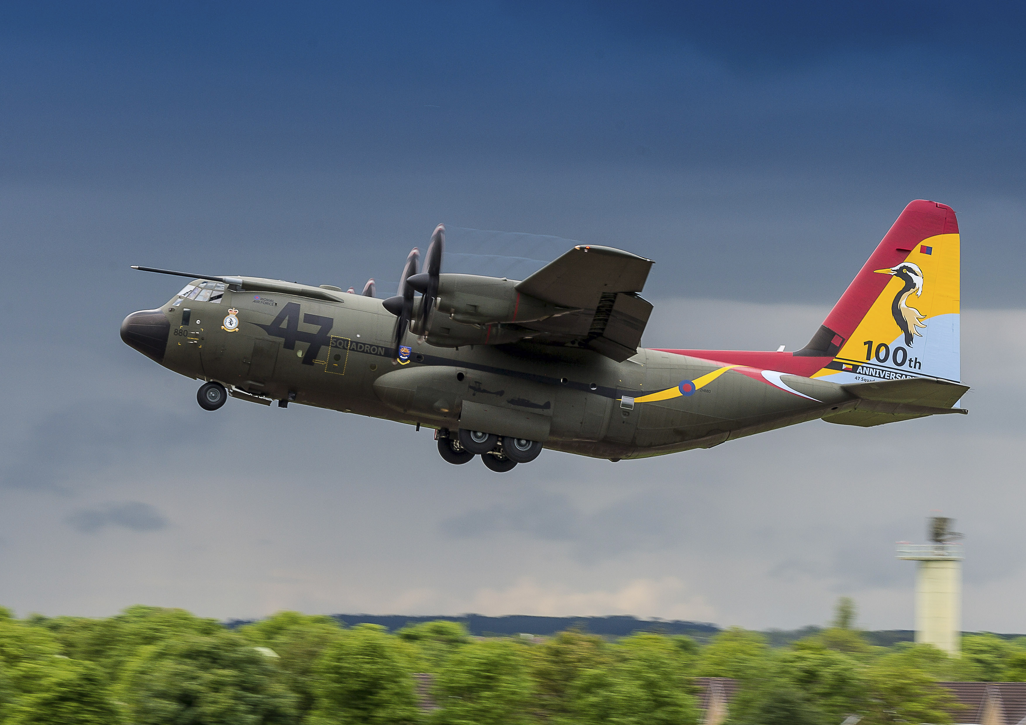 Number 47 Squadron Centenary Tail Art
") !
!